
|
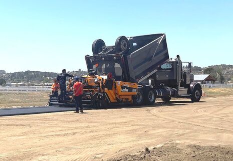
Attention Pilots Runway 10/28 is currently closed to all aviation operations for asphalt application. Check this page for updates and be sure to contact 951-763-4192 for runway status before flying in, and always look for 'X' markings on the runway thresholds indicating closure for maintenance. |
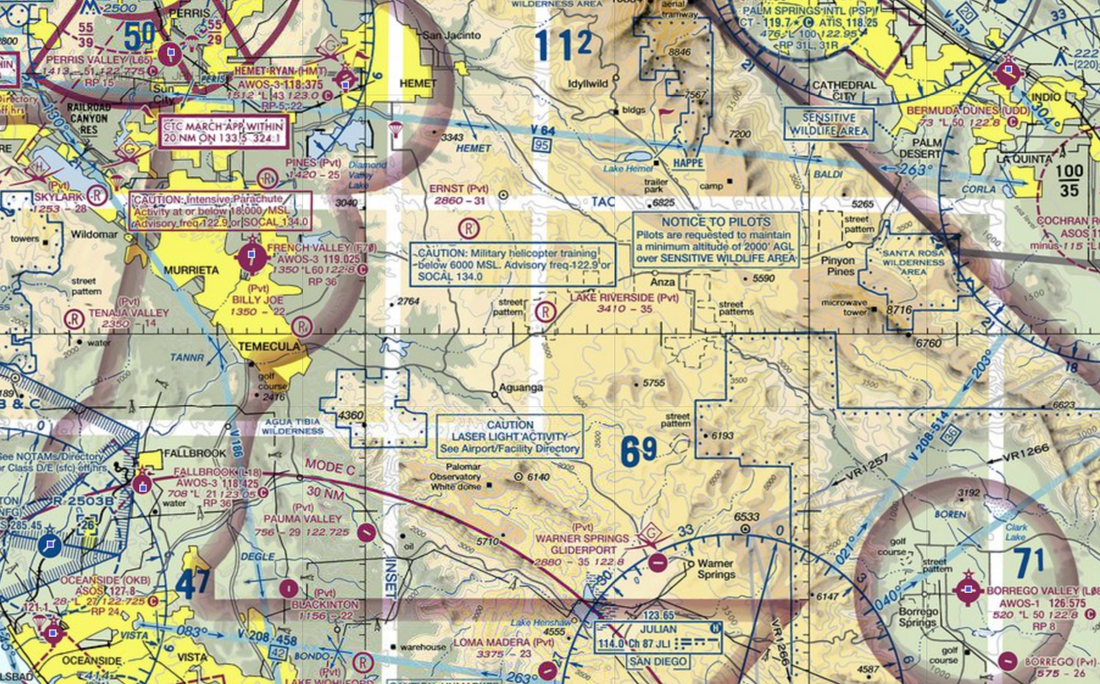
Airspace
Click to set custom HTML
|
|
Weather
- Usually 340+ days a year of clear and unlimited VFR flying.
- Why? We're in a wide open valley 3400' ft above sea level, protected in 360 degrees from any of that coastal fog -or smog- that may roll in down in the city
- Wind can blow in from either the west or the east, so check either of our windsocks to determine whether to use Runway 10 or Runway 28 before landing or taking off
- Believe it or not, in the heart of winter, we get an occasional dusting of snow. This is beautiful but usually gone by the next day

Photo by Michael Mannschreck
|
|
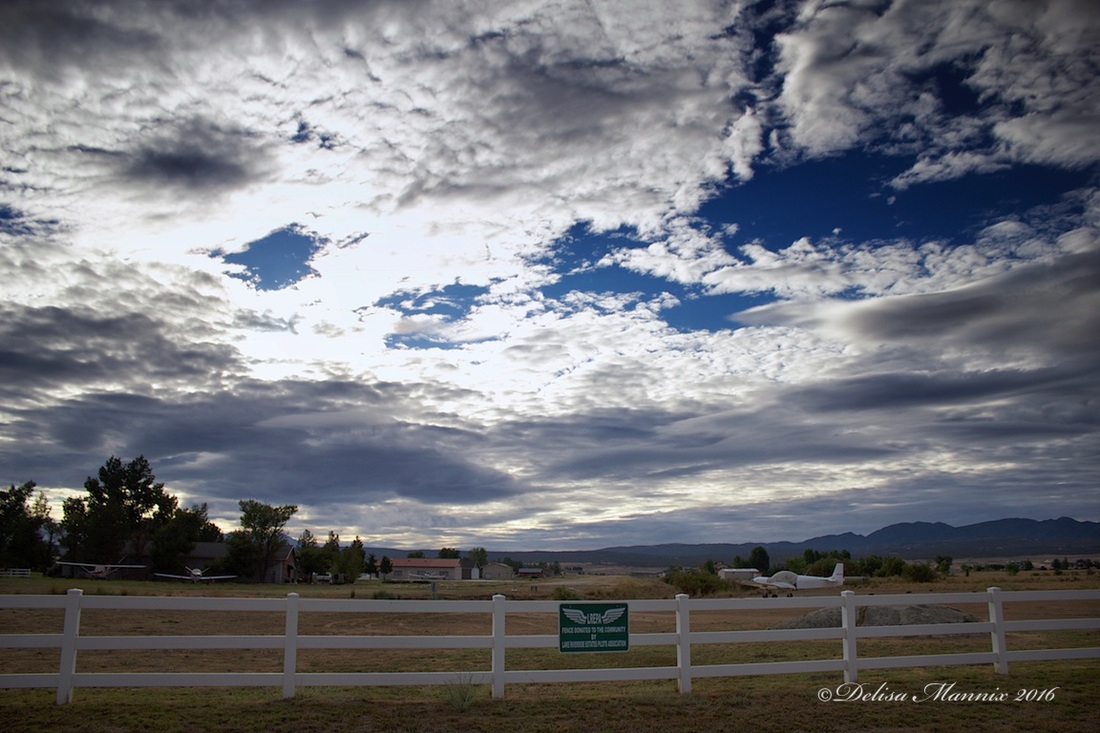
Runway and windsocks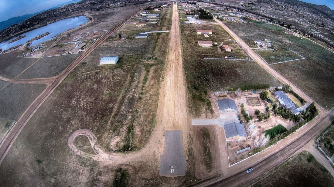
Photo by Michael Mannschreck
|

Photo by Diane Sieker
|
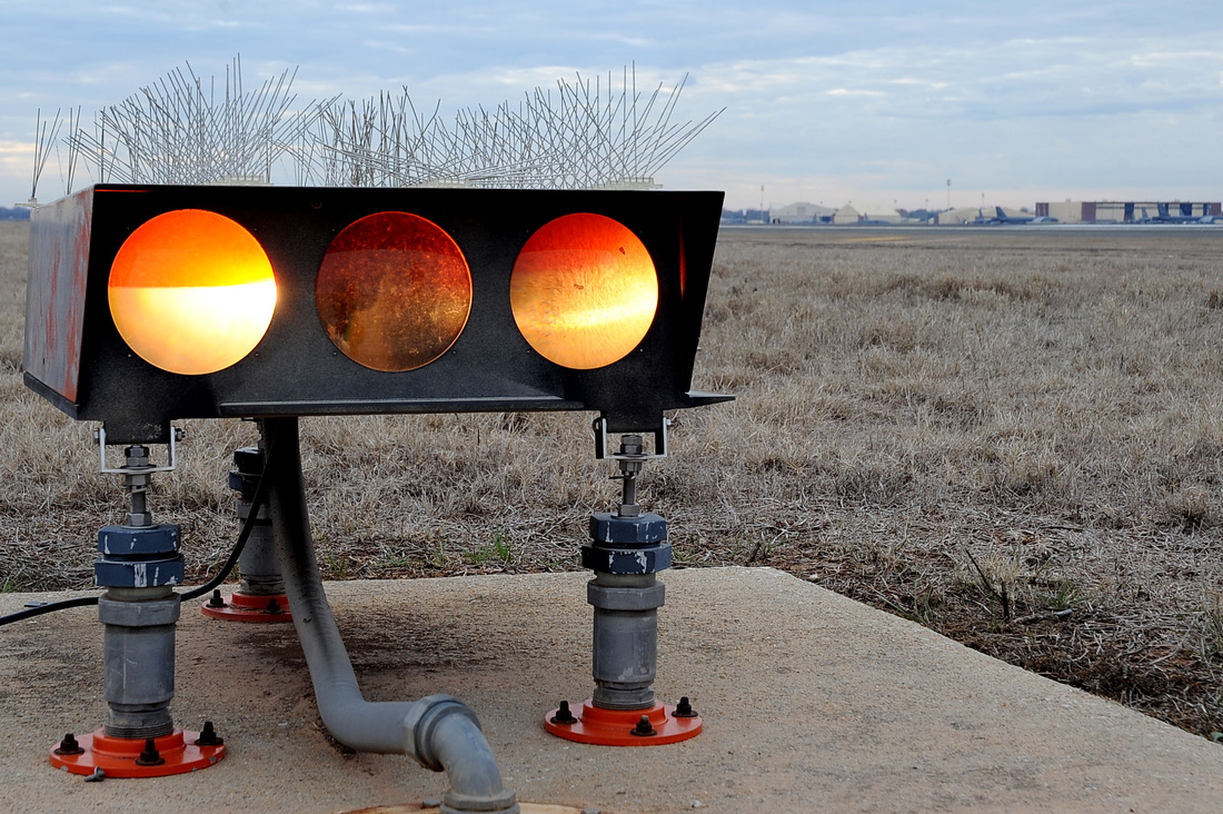
Runway lighting and night flying
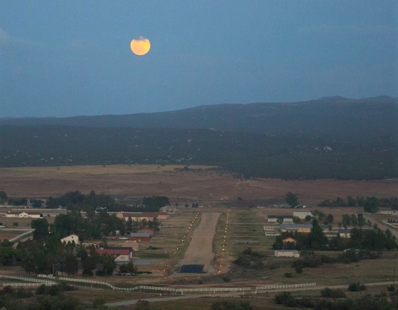
Runway lights at dusk - photo by Ketchams
|
|
Traffic Pattern
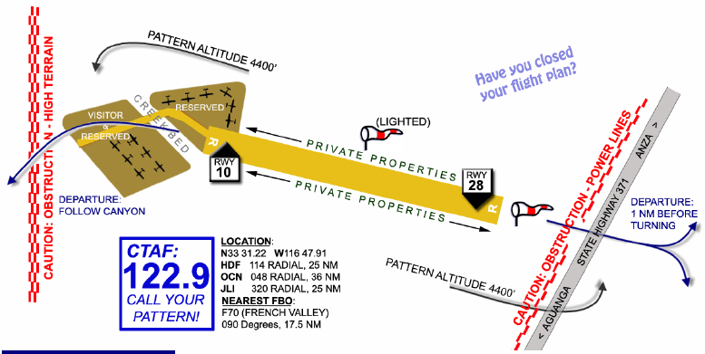
Drawing not to scale. Directions, elevations, and positional information are approximate.
Transient Parking
|
|